Welcome to our collection of walks leaflets
The downloadable leaflets, further down on this page, are FREE for anyone to use. All we ask is that publishers reprinting any in the Chiltern Society set provide clear credit to the Chiltern Society and note they are strictly NOT for resale.
We also have a specially curated and stunning Seasonal Walks Collection.

Free walks leaflets
Take your pick. Use the map above, or the tools below to download your free walk leaflet (PDF).
We are a charity so please help us keep these footpaths open by donating HERE when you download a free Chiltern Society map.
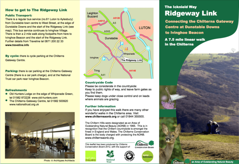
The Icknield Way Ridgeway Link
- 5-8 miles
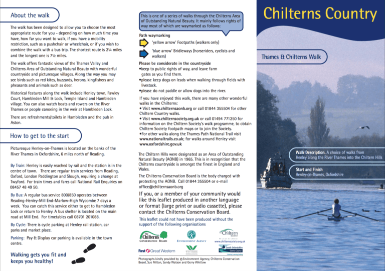
Thames & Chilterns Walk, around Henley
A choice of walks of 2½ and 2¾ miles, from Henley along the River Thames into the Chiltern Hills.
Start and finish: Henley-on-Thames, Oxfordshire.
- < 3 miles
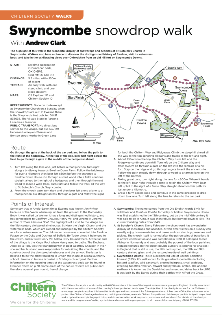
Swyncombe Snowdrop Walk
5.5 miles, with c130m of ascent.
An easy walk with one steep climb and one steep descent.
- 5-8 miles
- Stile free
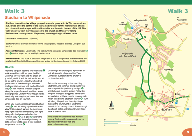
Studham to Whipsnade
6½ km (4 miles), allow 2½ hours.
Start and finish: Park near the War memorial on the village green, opposite the Red Lion.
- 3-5 miles
- Stile free

Studham Common Walk
Short circular walk: 1½ miles (2.4 km), open grassed area, allow 45 minutes.
Start and finish: War Memorial, West Common.
- < 3 miles
- Stile free
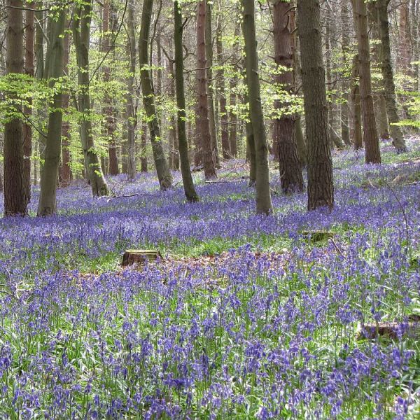
St Paul’s Walden Walk
6.5 miles/10.2km, with 475ft/145m of ascent.
A moderate walk with steady ascents and descents. Paths are generally good, but the sections through woodland can be very muddy in wet conditions.
- 5-8 miles
- Stile free
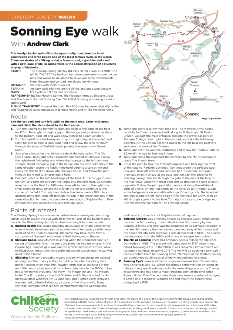
Sonning Eye Walk
5.8 miles with 250ft of ascent.
An easy walk with two gentle climbs and one steep descent.
- 5-8 miles
- Stile free
Seer Green and Beaconsfield Walk
Circular Walk: 6.5 miles (11km) Allow 3.5 hours.
Station to Station Walk: 5½ miles (9 km). Allow 3 hours.
Start and finish: Seer Green & Jordans station / Beaconsfield station.
- 5-8 miles
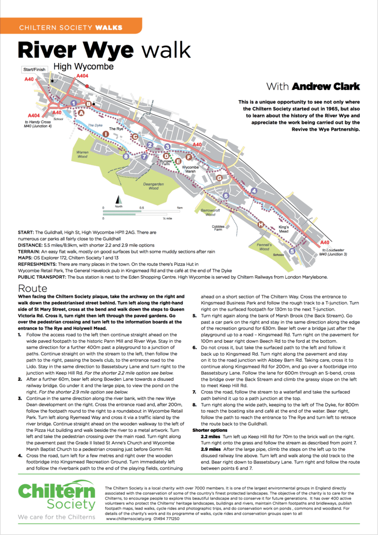
River Wye Walk
5.5 miles/8.9km, with shorter 2.2 and 2.9 mile options.
An easy flat walk, mostly on good surfaces but with some muddy sections after rain.
- < 3 miles, 5-8 miles
- Stile free
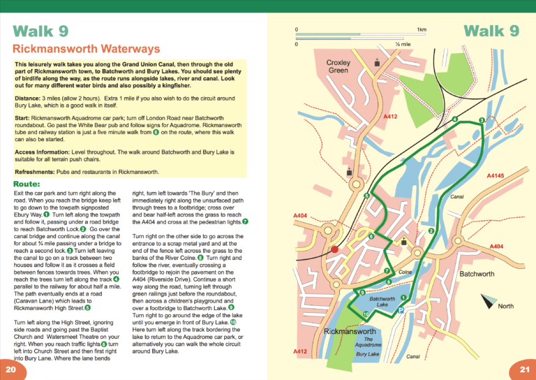
Rickmansworth Waterways
5 or 6½ km (3 or 4 miles), allow 1½ or 2 hours.
Start and finish: Rickmansworth Aquadrome car park.
- 3-5 miles
- Stile free


