About Cholesbury Camp
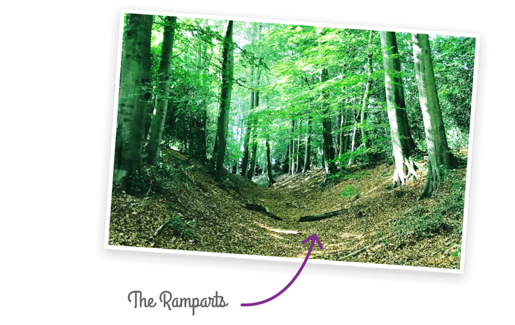
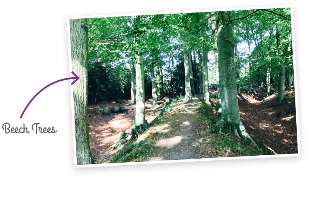
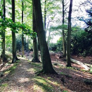
Cholesbury Camp is a Scheduled Monument and is regarded as one of the most visually impressive prehistoric settlements of the Chilterns. Though beech trees now grow across much of the site it is easy to envisage the multiple ramparts and central plateau that once made up this important settlement.
Although the purpose of Cholesbury Camp is not fully understood it formed part of a wider distribution of hillfort sites established across the Chiltern Hills in the late Bronze and Iron Ages. The Chiltern Society aims to conserve Cholesbury Camp to help further an appreciation and understanding of such sites within the Chilterns landscape.
How to find us
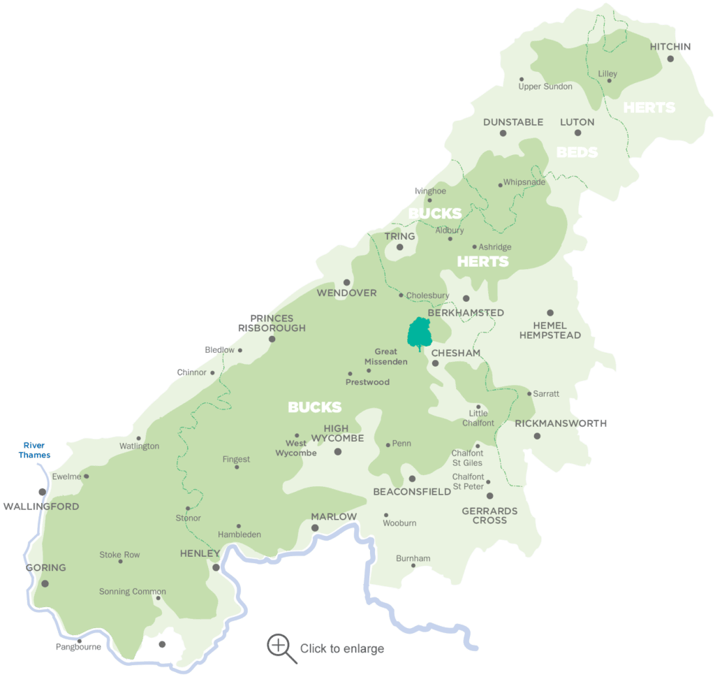
Cholesbury Camp, Parrott’s Lane, Tring.
Find Cholesbury Camp on Google Maps and What3Words.
Bus: Red Rose routes 149 and 194.
Rail: Chesham is 4½ miles away.
Road: The entrance to Cholesbury Hill Fort is through the first turning on the right off Parrotts Lane, signposted ‘to The Church’.
Parking: Parking is available in Cholesbury Village. The Camp is about 5 minutes’ walk away. Please park responsibly!
Opening times
Free to visit and open all year.

Local walks
Prior to visiting, download our Cholesbury Camp and Iron Age Fort Walk Leaflet for local walks.
We also have hundreds of other Chiltern Walks Leaflets for you to enjoy.
Please visit the Chiltern Society Directory for the Site Co-ordinator’s contact details.

What you can spot 
