Let us guide you
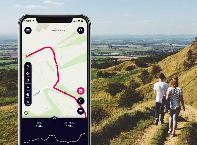
We’ve created a basic guide to the Chiltern Way, North Chiltern Trail, Berkshire Loop and Northern and Southern Links. The walk directions and maps are available on OS Maps and as downloadable leaflets. Links to the stages are below.
With much of the Chiltern Way inside the Chilterns Area of Outstanding Natural Beauty, we hope the guidance on this page will help you to find your own way through some of the most beautiful and unspoilt countryside in England.
Our Chiltern Way Basic Guide is a PDF containing background information and help with using the guides. Following this link will download it.

Chiltern Way
Published in a collection of fifteen stages. Each is available on OSMaps or as a downloadable leaflet by selecting an option (button) in the list below.
Selecting ‘OS Maps’ will, depending on your set-up, open that section in your OS Maps app, or a new window in your browser. Selecting ‘Leaflet’ will download a PDF to your device. We hope you enjoy your walk!

North Chiltern Trail
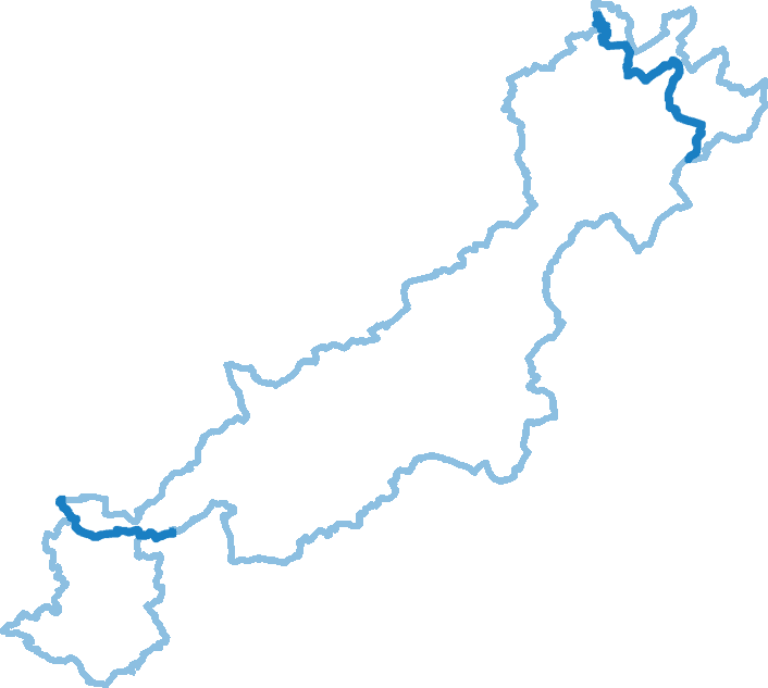
A 43 mile circular route around the North Chilterns. Following on from stages 13 and 14 of the Chiltern Way – from Barton to Peters Green – the stages below complete the circuit.
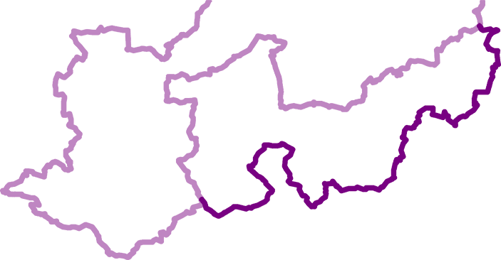
Berkshire Loop
We’re currently working on providing detailed instructions for this alternative route, which crosses the River Thames at Cookham and Henley.

Sample the Chiltern Way

Princes Risborough Circular Walk
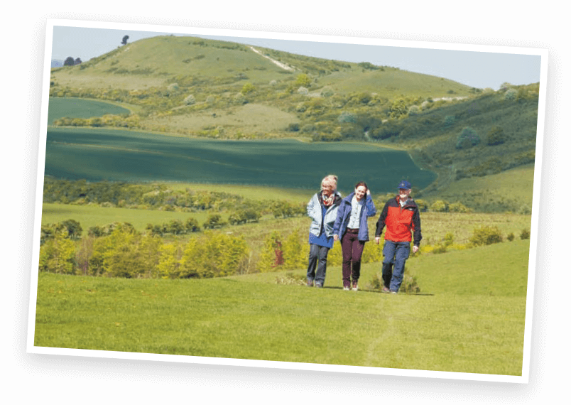
Ivinghoe Beacon Circular Walk
