Welcome to our collection of walks leaflets
The downloadable leaflets, further down on this page, are FREE for anyone to use. All we ask is that publishers reprinting any in the Chiltern Society set provide clear credit to the Chiltern Society and note they are strictly NOT for resale.
We also have a specially curated and stunning Seasonal Walks Collection.

Free walks leaflets
Take your pick. Use the map above, or the tools below to download your free walk leaflet (PDF).
We are a charity so please help us keep these footpaths open by donating HERE when you download a free Chiltern Society map.
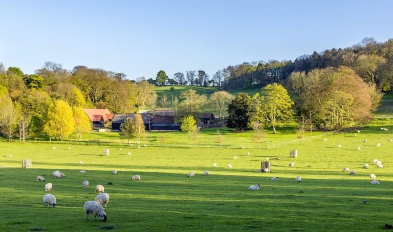
Great Offley Walk
- 5-8 miles
- Stile free
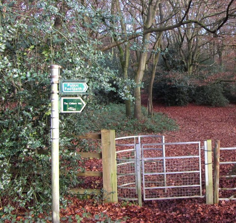
Chiltern Way 2 – Chalfont St Giles to Marlow Bottom
From Chalfont St Giles you follow quiet country paths over fields and through woods, passing pretty villages. You then cross the busy Wye valley and M40 before returning to rural calm and passing through larger patches of woodland before ending at Marlow Bottom.
- > 8 miles
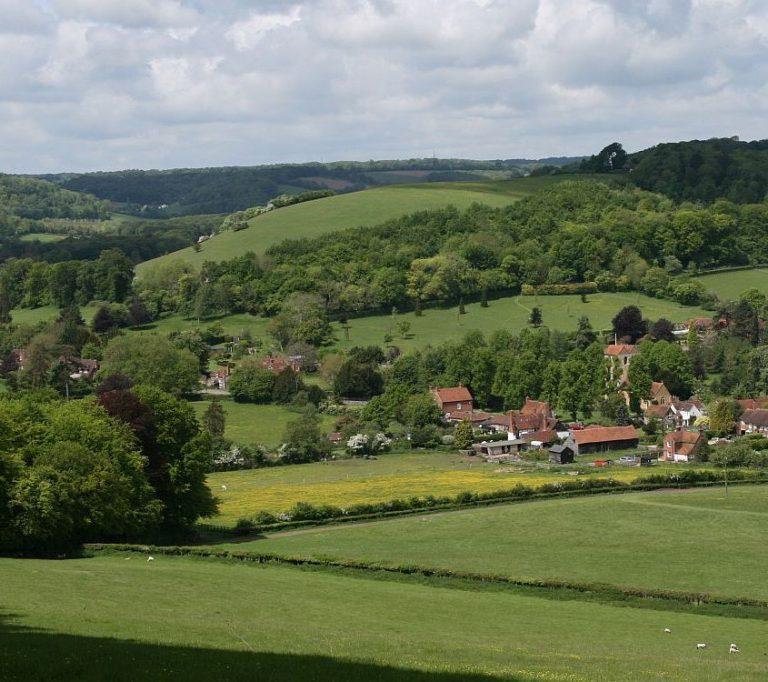
Chiltern Way 3 – Marlow Bottom to Stonor
A walk, initially through woodland, then along the lovely Hambleden Valley and passing through the villages of Hambleden, Fingest and Turville. There are fine views from the hills above Fingest and Turville.
- > 8 miles
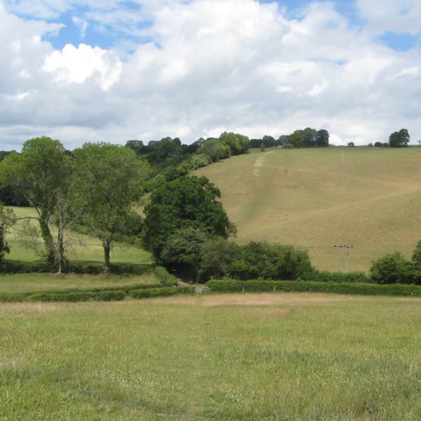
Chiltern Way 4 – Stonor to Sonning Common
The new route of the Chiltern Way departs from the original route at Upper Bix Bottom and roughly follows the curve of the Thames south from near Henley, via Mapledurham to Goring, then north to Ewelme. It is classic walking in South Oxfordshire farm country and woodland , with frequent open views over the Thames Valley to the South.
- > 8 miles

Chiltern Way 5 – Sonning Common to Whitchurch
Chiltern Way from Sonning Common to Whitchurch Hill via Mapledurham.
- 5-8 miles


Chiltern Way 6 – Whitchurch to Woodcote
Chiltern Way from Whitchurch Hill to Woodcote via Goring.
- 5-8 miles


Chiltern Way 7 – Woodcote to Ewelme
Chiltern Way from Woodcote to Ewelme.
- > 8 miles
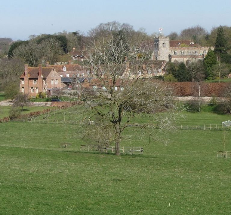

Chiltern Way 8 – Ewelme to Stokenchurch
This quiet, relatively remote, stage of the Chiltern Way offers fine views across the Oxford Plain from the downs above Ewelme before continuing northwards through mainly broad-leaf woodland.
- > 8 miles
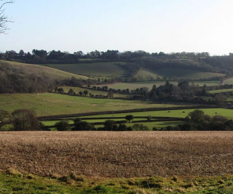

Chiltern Way 9 – Stokenchurch to Wendover Dean
Explore the pretty ridges, valleys and woods past Radnage and over Bledlow Ridge. Cross the broad Risborough Gap and continue through quiet woods and remote hamlets. Note the stage finish has changed because of HS2 works.
- > 8 miles
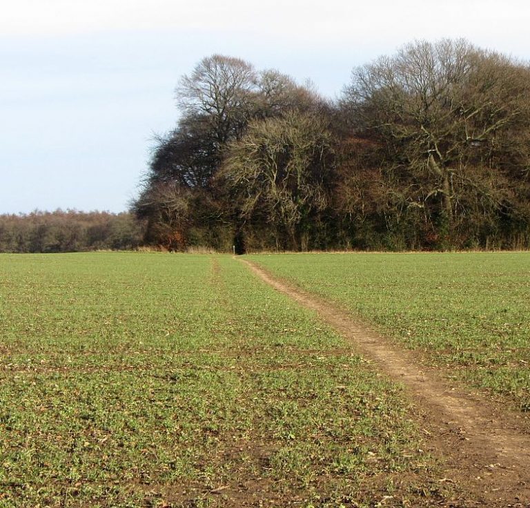

Chiltern Way 10 – Wendover Dean to Ashridge
Climb out of the Misbourne Valley then walk field paths through remote hamlets and woods. Follow the line of Grim’s ditch before crossing the “Tring Gap” to the edge of Aldbury. Route updated for HS2 works.
- > 8 miles


