Welcome to our collection of walks leaflets
The downloadable leaflets, further down on this page, are FREE for anyone to use. All we ask is that publishers reprinting any in the Chiltern Society set provide clear credit to the Chiltern Society and note they are strictly NOT for resale.
We also have a specially curated and stunning Seasonal Walks Collection.

Free walks leaflets
Take your pick. Use the map above, or the tools below to download your free walk leaflet (PDF).
We are a charity so please help us keep these footpaths open by donating HERE when you download a free Chiltern Society map.
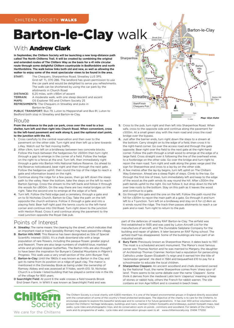
Barton-le-Clay Walk
- 5-8 miles
- Stile free
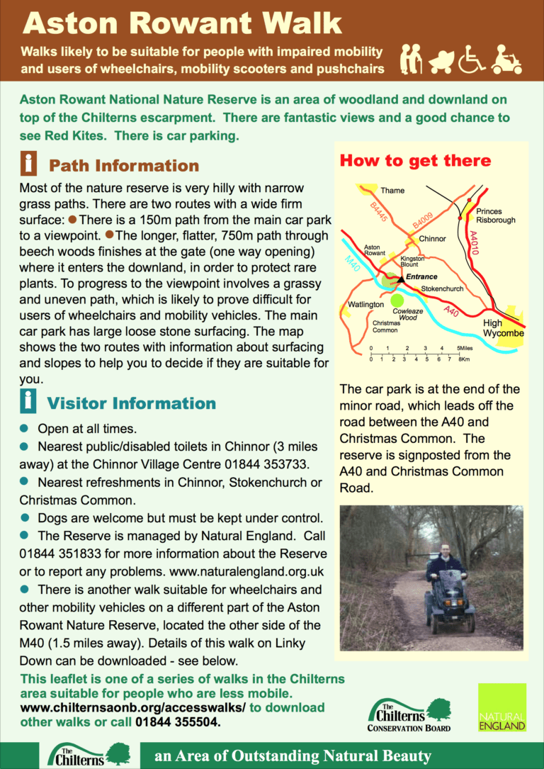
Aston Rowant Walk
150 m (165 yd) path from the main car park to a viewpoint and longer, flatter, 750 m (820 yd) path through beech woods.
- < 3 miles
- Stile free
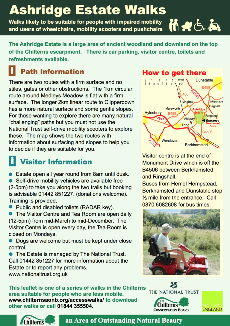
Ashridge Estate Walks
A 1 km (½ mile) circular route around Medleys Meadow and a longer 2 km (1¼ mile) linear route.
- < 3 miles
- Stile free
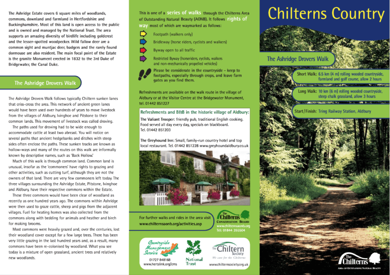
Ashridge Drovers Walk
Short walk: 6½ km (4 miles), allow 2 hours.
Long walk: 10 km (6 miles), allow 3 hours.
Start and finish: Tring Railway Station, Aldbury.
- 3-5 miles, 5-8 miles
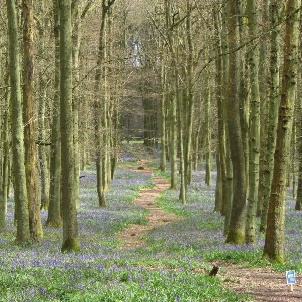
Ashridge Bluebell Walk
4.6 miles, with 110m of ascent over the length of the walk.
An easy walk that can be muddy after rain.
- 3-5 miles
- Stile free
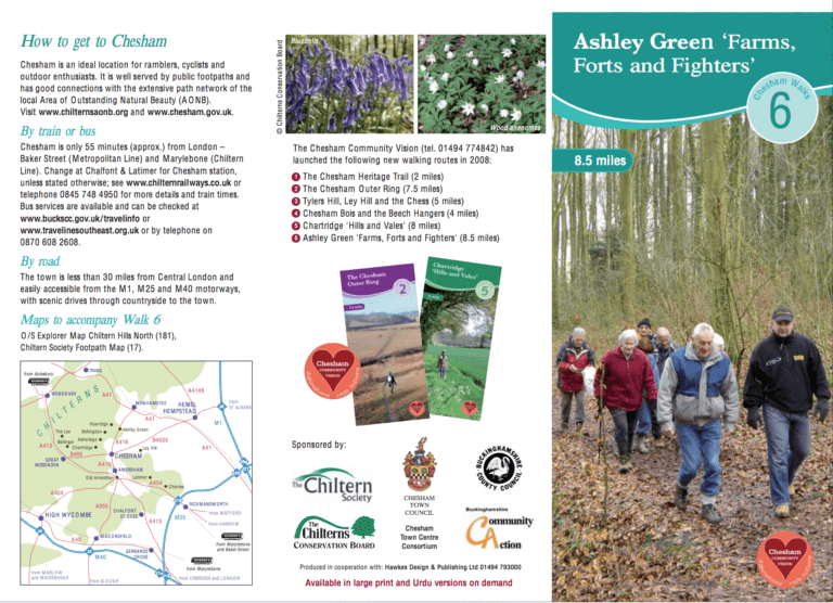
Ashley Green Farms, Forts and Fighters
This is a 13½ km (8½ mile) walk into history; whether it is ancient history with an iron age fort or a reminder of a more modern conflict, a Second World War airfield where USAF bombers took off on their bombing raids.
- > 8 miles
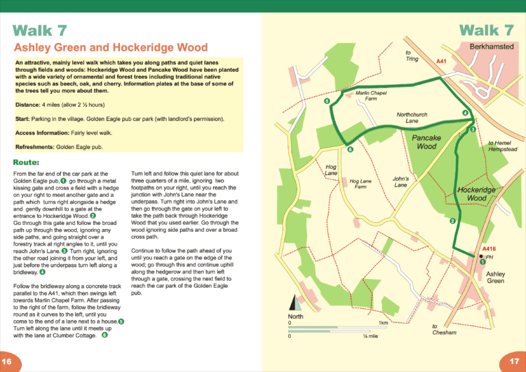
Ashley Green and Hockeridge Wood
6½ km (4 miles), allow 2½ hours.
Start and finish: Parking in the village. Golden Eagle pub car park with landlord’s permission.
- 3-5 miles
- Stile free
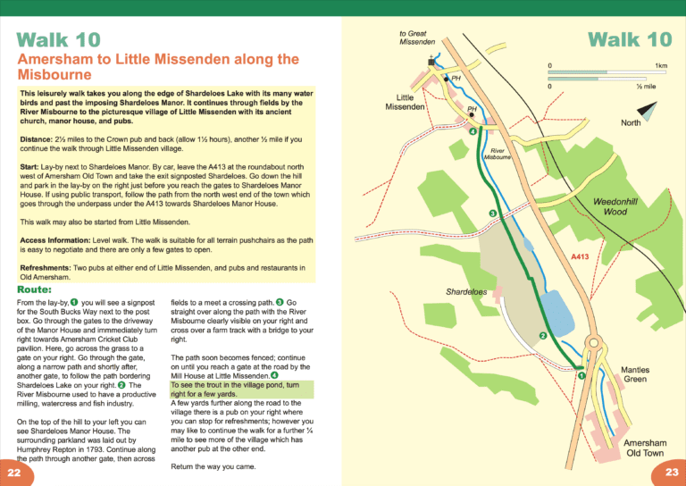
Amersham to Little Missenden along the Misbourne
4 or 5 km (2½ or 3 miles), allow 1 to 1½ hours.
Start and finish: Lay-by next to Shardeloes Manor.
- < 3 miles, 3-5 miles
- Stile free
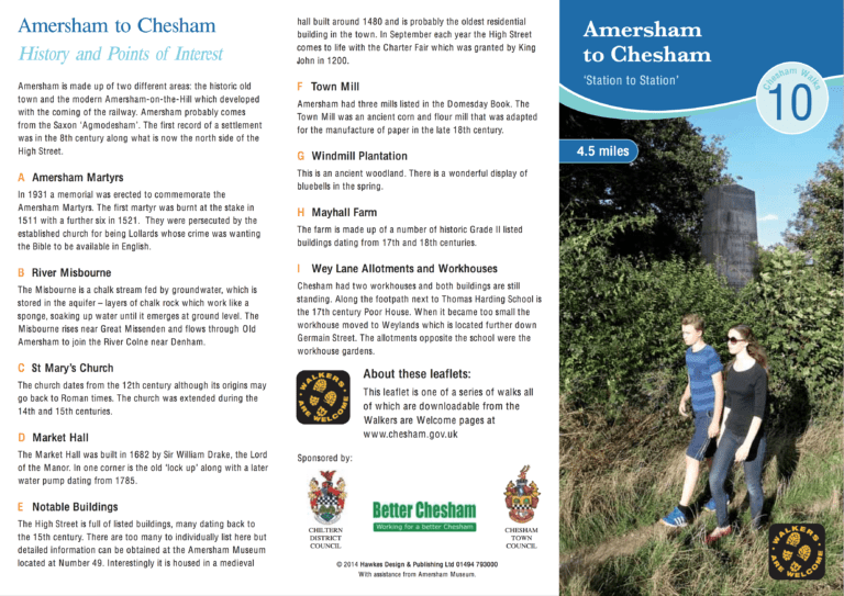
Amersham to Chesham (Station to Station)
This 7.2 km (4½ mile) walk starts at Amersham station and finishes at Chesham, both on the Metropolitan Line. Several interesting waypoints are all described in the leaflet, including: a memorial to the Amersham Martyrs, a 17th century market hall and two former workhouses. This walk is stile-free and is described as easy with one climb.
- 3-5 miles
- Stile free
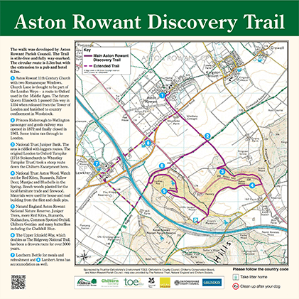
Aston Rowant Discovery Trail
This download includes map, description and 5-page illustrated guide to the route.
Shorter route: 5¼ miles (8.5 km), allow 2½ hours. With extension to pub and hotel: 6¼ miles (10 km), allow 2¾ hours.
Start and finish: The Green or Church Lane, Aston Rowant.
- 5-8 miles
- Stile free


